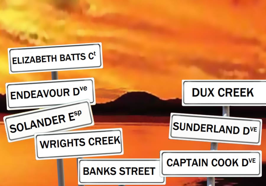
This article is about a few street and place names in Banksia Beach. This year is the 250th Anniversary of James Cook “discovering” and mapping the east coast of Australia. In mid-June 1770, his ship Endeavour beached for repair for 6 weeks near todays Cooktown, after hitting the Great Barrier Reef. Fortunately, for Cook and his crew, they eventually made remarkable repairs and were able to navigate out of the reef and return to England. History would have been very different if they had not, and we would not be living in the Australia we know today.
MEMORIES OF COOK. James Cook aboard Endeavour was way off the coast here, and did not see Bribie Island or Moreton Bay, so it is interesting that the initial developer of Banksia Beach decided to name several streets related to his voyage.
SOLANDER Esplanade runs along the foreshore. He was the assistant to the wealthy self-funded Scientist and Botanist Joseph BANKS, after whom many things were named, including BANKSIA Beach, the Tree and BANKS Street. Other street names include ENDEAVOUR Drive, and VENUS Court, from their observation of the Transit of Venus, prior to mapping NZ and Australia.
ELIZABETH BATTS Ct. honours James Cook’s wife, a remarkable woman who lived to the age of 93. They had six children, three died in childbirth, he never saw them, and she survived her husband by 56 years, and outlived all of her children.
GUSTAV DUX Banksia Beach was an isolated Bribie place in the early days, being north of the sprawling wet lands of DUX Creek, original known as Cobblers Peg Creek. Johann Gustav DUX was born in Prussia in 1852, and at age 18 as a navy seaman he jumped ship in Cooktown. He worked his way south to “German Station” near Nundah, where there were German missionaries. He met and married a 17-yearold Prussian, Bertha, and they moved to live on the Caboolture river in 1880’s. Dux Street also bears his name, beside the river, on approach to Caboolture. They had 10 children and made a living Fishing, catching Crabs and Oysters between the river and Bribie Island. It was a very long haul in a rowboat to Bribie, and he often camped overnight at what became known as DUX CREEK. He died in 1927 and his name lives on in memory.
DUX CREEK is now the main entrance to the extensive Pacific Harbour canal development, which began as a small development beside what was Solander Lake. The road to Banksia Beach is SUNDERLAND Drive, which crosses DUX creek near the boat pond, and over the Canal development at Banksia beach.
HARRY SUNDERLAND was a shearer with 227 acres of land at Banksia Beach back in 1945. The only access was by boat, when there were no roads in the area. When Harry was away shearing his wife Phyllis spent much time in isolation, feeding ducks and chooks, growing vegetables and battling dingoes and foxes, with a shotgun under her bed every night.
Fish were plentiful and good quality, and they gave away more than they kept. Harry and Phyllis interviewed in 1980 remembered remains of military training operations around Bribie after the War, including unexploded bombs and craters.
“The fishing is buggered now” he said simply “you don’t catch squire or parrot any more, the mangroves have been razed, and chemicals from Pine forests have found their way into the Passage to the detriment of seagrass beds and fish breeding areas” When Solander Lake Estate started in 1970’s and Sunderland Drive built as the main access road, they sold their land and retained a house block on Solander Esplanade.
COL FISCHER The north end of Banksia beach foreshore is named COL FISCHER Park.
Colin and his wife Bry were among the first residents building 33 Solander Esplanade in 1979. They were wonderful gardeners and won “Best Garden in the Shire” for three years. He also landscaped and beautified the public foreshore and gardens over many years, and constructed the replica models of the Glasshouses. Prior to his death in 2011 he published a book the “History of Banksia Beach” which Bry later launched at the Historical Society.
WHITE PATCH is north of Banksia Beach and Wrights creek. This was an aboriginal reserve back in 1877 and the planned site for Town of Bribie in 1887, before Bongaree settlement began.
White Patch named by the first white man to visit Bribie Island, Matthew Flinders in 1799. He beached his sloop Norfolk for repairs (a familiar story) with a small crew including aboriginal friend Bongaree.
They explored Moreton Bay and what he called the Pumicestone River and climbed a Glasshouse mountain.
WRIGHTS CREEK named for Harry Wright, Secretary of Licensed Victuallers Assoc. in Brisbane from the mid 1880’s. His riverfront home was flooded in 1893 floods and he lived on Bribie from 1907 to 1924, owning land around Wrights Creek and at Bongaree. In 1925, he proposed a grand “Ocean Club” development at Bongaree that did not eventuate.
