Ocean Beach has copped a hammering, parts of Fort Bribie that have not been seen for years are exposed by the sand erosion caused by Cyclone Oma, we can all be thankful that it didn’t come any closer, although we could have done with the rain to fill the lagoons as the wildlife is suffering.
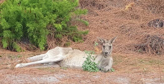
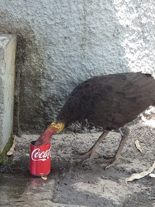
This big old kangaroo was very thin and thirsty, we drove right up to him before he moved, not unlike this bush turkey, we cut the top off a coke can to give him a welcoming drink of water. The beach was pleasant to drive on as the high tides had removed all the undulation from the sand. We must admit to anxious days watching a rough and erosive ocean, concerned for our Government Heritage listed Fort Bribie gun emplacements, recalling that the number two gun emplacement fell to sea erosion in 2012 with the last cyclone that visited.
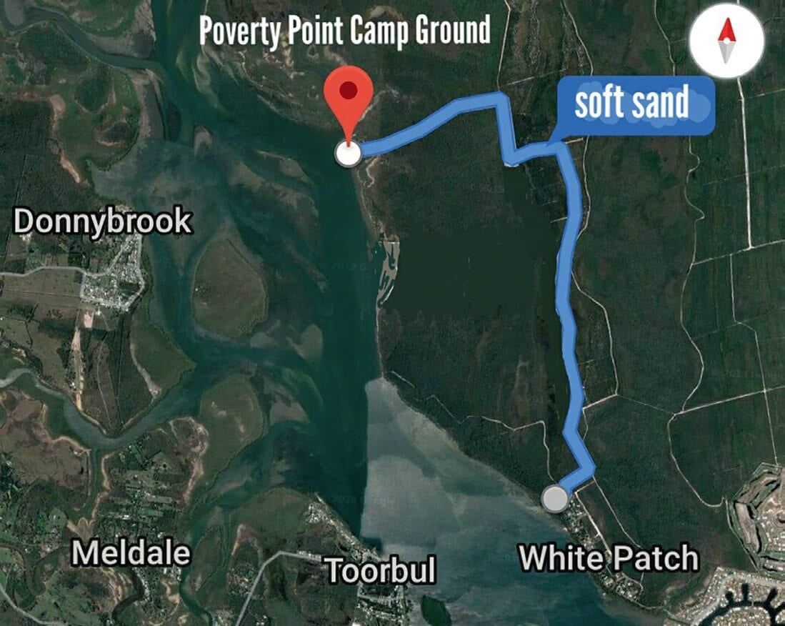
 Sadly, we’ve only one left now, the cost to sandbag it is a mere $19,000 a small price to save it for future generations. The Northern Access Track is still very soft, even experienced off-roaders are making new memories “I got bogged on Bribie”, we suggest you take max tracks or similar, take a shovel with you. If bogged, remove the sand build up from in front or behind your wheel, wedge the max track in under the wheel in the direction you want to go and drive slowly, they’ll get you out, be sure you’ve got 3 meters rope tied to them.
Users regularly search for 10 to 15 minutes to find their buried max tracks, remember spinning your wheels is not necessary. We’ll deal with the proper use of snatch straps and winching next edition. In some of the bad patches in the track the Rangers have mixed woodchip into the sand, it retains moisture and binds the sand allowing an easier transition.
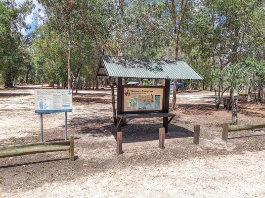
 Poverty Point camping area is about 7.5km up the inland track it is a large camping area on Bribie’s west coast it has open grassy sites, shady trees, ECO toilets/showers, fire rings are provided, so take some firewood, expect the company of plenty of goannas and friendly kangaroos. It is the original site of the cattle dip for the Bribie cattle grazing property that once was.

The picnic area overlooks Pumicestone Passage with breathtaking views to the Glass House Mountains and back across to Donnybrook where they have a great bowls club for a meal, live entertainment, and pokies. Access to Poverty is by 4WD or boat (camp permits are required). There are no boat launching or recovery facilities, sites are numbered with an area designated for camper trailers or large groups.
 As with the rest of Bribie Island National Park take your own drinking water. Some confusion, “all-wheel drive” versus “4 wheel drive” vehicles. Both are very capable, however, it comes down to ground clearance, 4x4s usually have larger wheels providing higher clearance for the diff, but if the all-wheel drive has good ground clearance usually with traction control and tyres at 20psi, then, go enjoy the sand, driving in mud will be different.
This Week’s Reader Question
What is the land area of our wonderful Bribie Island National Park? Answer next issue.
Think you know the answer, tell us in the comments below
